Basement waterproofing in Newburgh and Ann Arbor Trail, Livonia
Updated October 20, 2026
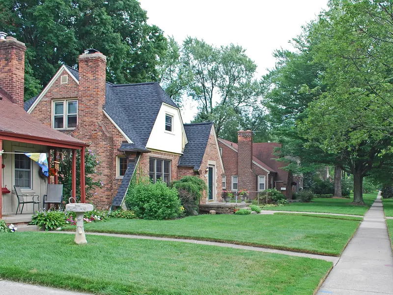

Newburgh and the Ann Arbor Trail area sit on Spinks sand near the Middle Rouge and Newburgh Lake. The sand drains well, but the water table is close to the surface and rises in spring, so leaks here are seasonal seepage from below rather than clay pressure from the side. The USGS gauge on the Middle River Rouge shows how the river and the water table move together.
Where: southwest Livonia, near Newburgh Lake · Housing: 1960s–70s subdivisions · Mapped soil: well-drained Spinks sand, high spring water table
What contractors usually find in Newburgh basements
- Seepage through the slab or at the cove joint in April and May.
- Sumps that run constantly in spring and barely at all in August.
- Dry basements in summer that fool new owners.
Which fix usually fits
- Sump pumps: A sump sized for the spring water table, with a backup, is the first fix; some houses need a second pit.
- Waterproofing: Interior tile with a sealed liner so the rising water is collected rather than coming through the slab.
Also on this site: crack repair, crawl space. The contractor decides the scope at the house; these are the usual starting points, not a diagnosis of your basement.
Before you send the form
- Note the months the water shows up.
- Check whether the sump has a backup.
- Look for stains at the base of the slab.
- Keep the discharge line clear in winter; a frozen line in March is a common cause of a flooded spring.
Newburgh questions
Why does my basement leak in spring but not after summer storms?
High spring water table on sand. It comes from below, not from the side. The sump and tile handle it.
Does the lake affect my basement?
Indirectly: when the river and lake are high, the water table under nearby streets is high too.
General notes from Census build eras, USDA map units and the city's own flood pages, not records of specific addresses. More on the Livonia facts page and the all-areas page.
Request a free estimate for Newburgh
Request a free estimate
Tell us what the basement does and roughly where you are in Livonia. One independent contractor who works here calls you, looks, and writes a free estimate. No fee for the referral and no obligation.
Sources
- USGS monitoring location 04166760, Middle River Rouge at Newburgh Dam at Livonia, MI — https://waterdata.usgs.gov/monitoring-location/04166760/
- USDA NRCS Soil Data Access, map unit components at Plymouth/Merriman (Rosedale Gardens), 7 Mile/Farmington (Castle Gardens), 6 Mile/Levan (Coventry Gardens) and Newburgh/Ann Arbor Trail, queried Oct 19 2026 — https://sdmdataaccess.sc.egov.usda.gov/
- USDA NRCS Web Soil Survey: drainage classes and hydrologic soil groups — https://websoilsurvey.sc.egov.usda.gov/